David Meier · 20 November 2026
Decoding Seasonal Storm Patterns as Predictors for Adjusting Relay Protocols in Scattered Island Hubs
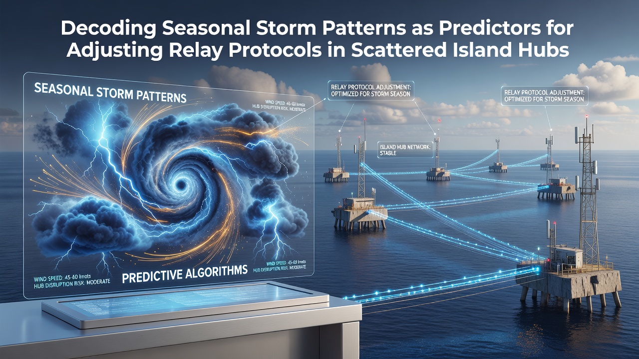
Seasonal storm patterns provide measurable data that network operators use to adjust relay protocols across scattered island hubs, where connectivity relies on precise timing and signal rerouting during weather disruptions. Researchers track variables such as wind speed thresholds, precipitation rates, and atmospheric pressure changes that correlate with increased packet loss in maritime signal pathways. These adjustments help maintain data flows between remote locations where traditional terrestrial infrastructure remains unavailable.
Mapping Storm Cycles in Archipelago Regions
Storm seasons in tropical and subtropical zones follow recurring cycles that meteorological agencies document through satellite imagery and buoy sensor networks. In the western Pacific, typhoon activity peaks between June and November, while Atlantic hurricane patterns concentrate from August through October, and data from the Australian Bureau of Meteorology shows similar seasonal clustering around the Coral Sea and Timor Sea regions. Observers note that these cycles produce consistent pressure drops and wind shear patterns that precede signal degradation in relay stations positioned on low-lying atolls and volcanic islands.
Historical records indicate that storm-induced interference often begins 48 to 72 hours before peak winds arrive, allowing protocol adjustments to shift from standard routing tables to weather-resilient configurations. Engineers monitor ionospheric disturbances and sea-surface temperature anomalies because both factors influence microwave and satellite link stability in these environments. When storm tracks align with hub clusters, latency spikes occur first in lower-frequency bands before propagating to higher-capacity relays.
Relay Protocol Adjustments Based on Predictive Indicators
Network teams implement protocol changes when storm pattern models forecast sustained winds above 35 knots or rainfall accumulation exceeding 50 millimeters within a 24-hour window. These thresholds trigger automatic failover sequences that prioritize shorter hop distances and increase error-correction overhead in transmission frames. Studies conducted on archipelago testbeds demonstrate that preemptive rerouting reduces packet drop rates by measurable percentages compared with reactive measures applied after signal loss begins.

Protocol stacks incorporate real-time feeds from regional weather services to update routing metrics dynamically. One documented approach involves weighting relay paths according to projected storm intensity gradients, which allows hubs to favor inland or leeward stations when frontal systems approach from prevailing wind directions. Data collected during the 2025 Pacific season showed that such weighted adjustments maintained throughput levels within 15 percent of baseline during multiple typhoon passages.
Integration of November 2026 Forecasts
Projections prepared for November 2026 indicate an above-average storm count in the central Pacific basin, with early model runs forecasting at least four systems reaching typhoon strength. Operators preparing for that period have begun calibrating relay firmware to accommodate increased frequency of protocol shifts, particularly in hubs located along historical storm corridors near the Marshall Islands and northern Vanuatu. Coordination with regional meteorological centers supplies updated track probabilities that feed directly into automated adjustment scripts.
Equipment logs from similar periods reveal that relay stations equipped with predictive modules experience fewer manual interventions during active weather windows. These modules rely on ensemble forecasts that combine multiple atmospheric models, and the resulting probability maps determine when to activate backup power sequences or increase beacon transmission intervals to maintain synchronization across dispersed nodes.
Technical Implementation Across Distributed Hubs
Implementation requires synchronization between local weather sensors and centralized network management systems so that protocol changes propagate before atmospheric conditions degrade link margins. Technicians configure relay firmware to respond to specific parameter combinations, such as rapid barometric pressure decline paired with rising sea-surface temperatures, because these combinations reliably precede heavy precipitation cells that scatter microwave signals. Field deployments in scattered island settings confirm that the approach reduces downtime windows when compared with fixed seasonal schedules alone.
Additional refinements involve adjusting modulation schemes and forward error correction rates in anticipation of multipath fading caused by turbulent air masses. Research groups at institutions such as the University of Hawaii have published measurements showing that adaptive modulation preserves signal integrity longer when triggered by storm trajectory data rather than static thresholds.
Conclusion
Seasonal storm pattern analysis supplies actionable inputs for relay protocol management in scattered island environments where weather events directly affect signal propagation. Continued refinement of predictive thresholds, combined with expanded sensor networks, supports more precise timing of adjustments across distributed hub systems. Records from past seasons and model outputs for periods such as November 2026 demonstrate the operational value of integrating meteorological data into network control frameworks.